
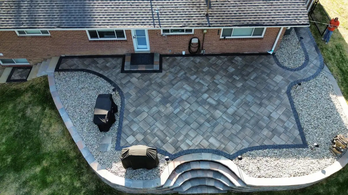
A homeowner’s field guide to water around the project area
Water problems are easier to describe when you record what actually happens in your yard. Before planning a patio, walkway, wall, or pool surround, watch the project area during rain and note the route water takes from roofs, pavement, slopes, and neighboring parts of the yard.
This guide does not prescribe one drain, base, or grading solution. It helps you bring useful observations to a site review so the proposed hardscaping can be evaluated for your address and selected system. Green Operations serves St. Louis, Jefferson County, and St. Charles County.
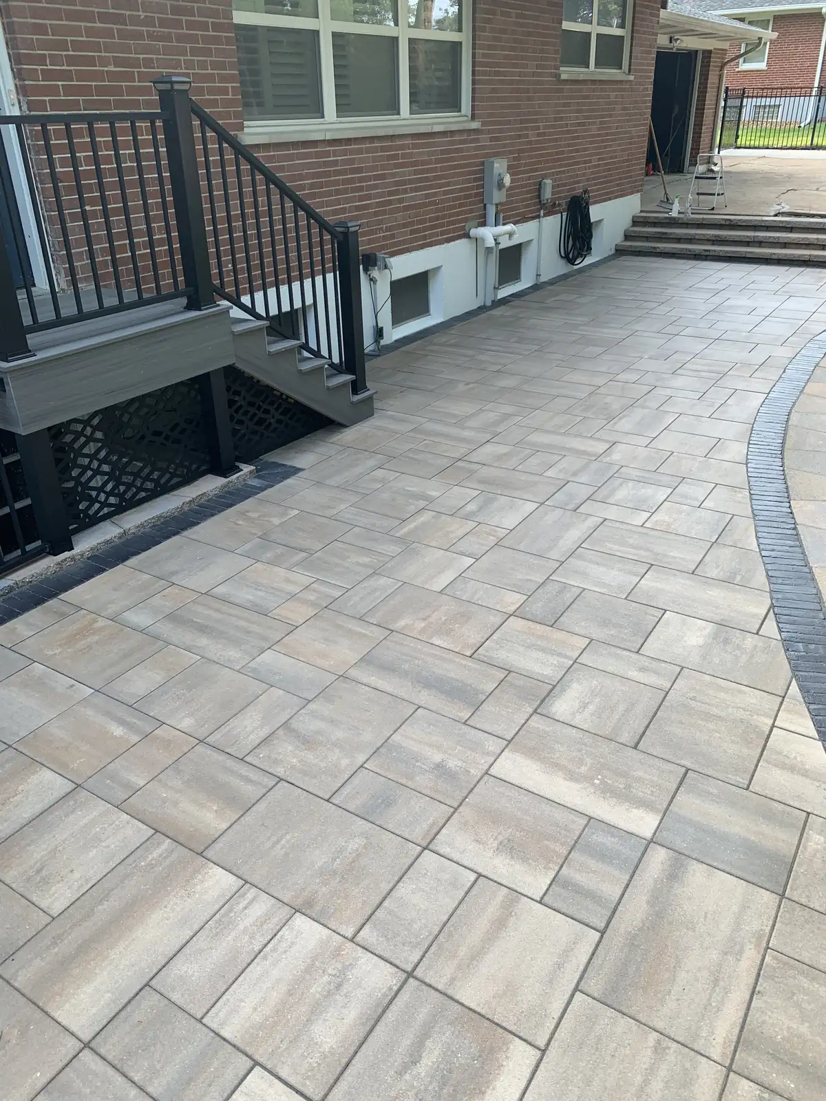
1. Photograph the same area in dry and wet conditions
Take wide photos that show the house, project area, and surrounding yard. Add closer views of puddles, washed soil, wet joints, or downspout discharge. A time stamp or note about how long water remained is more useful than calling the yard “wet.”
2. Trace water from its source
Look at roof downspouts, sump outlets, adjacent pavement, uphill lawn, and irrigation. Note which sources reach the proposed project area and where the water appears to leave. Do not redirect or connect drainage without confirming the appropriate design and local requirements for the property.
3. Mark doors, foundations, and low edges
Photograph door thresholds, window wells, foundation walls, basement entries, pool edges, and neighboring surfaces near the work. These fixed elevations can constrain a patio or walkway layout and deserve an explicit discussion during the site review.
4. Separate surface observations from assumptions
You can reliably report standing water, visible erosion, staining, settlement, or a downspout location. Soil composition, subsurface flow, and the cause of movement may require further evaluation. Ask the contractor to explain which conclusions come from observation and which still need confirmation.
5. Ask how the proposed surface changes runoff
A patio, walkway, or pool surround changes the area available for water to soak in. Ask where the finished surface will send water, what it meets at each edge, and whether the proposal affects the house, yard, or adjacent property. The answer should fit the actual elevations and selected paving or wall system.
6. Record the drainage decision in the scope
If the project includes grading, a drain, downspout work, wall drainage, or another water-management element, the written scope should identify it. If a separate specialist or approval is needed, clarify who coordinates that work and when it must happen.
7. Coverage is not a substitute for site conditions
Green Operations serves St. Louis city and county, Jefferson County, and St. Charles County. Lot conditions can differ within every service area, so the recommendation should follow the individual address rather than a countywide assumption about soil, slope, housing, or access.
Drainage Observation FAQ
What drainage observations should I share before a hardscaping estimate?
Share where water appears, how long it remains, which downspouts discharge nearby, and whether the pattern changes after different storms. Photos taken during or after rain can make those observations easier to discuss.
Why should water movement be reviewed before choosing a patio shape?
A new surface changes where water can soak in and where it travels. The proposed outline, elevations, nearby foundations, doors, beds, walks, and lawful outlet all need to be considered together for the specific property.
Does Green Operations serve my area?
Green Operations serves St. Louis city and county, Jefferson County, and St. Charles County. Conditions are evaluated at the individual address rather than assumed from the county name.
Can photographs replace an on-site drainage review?
Photographs are useful background, especially when they show wet-weather conditions, but they do not establish elevations, subsurface conditions, or the complete drainage path. Recommendations should follow a review of the actual site and project scope.